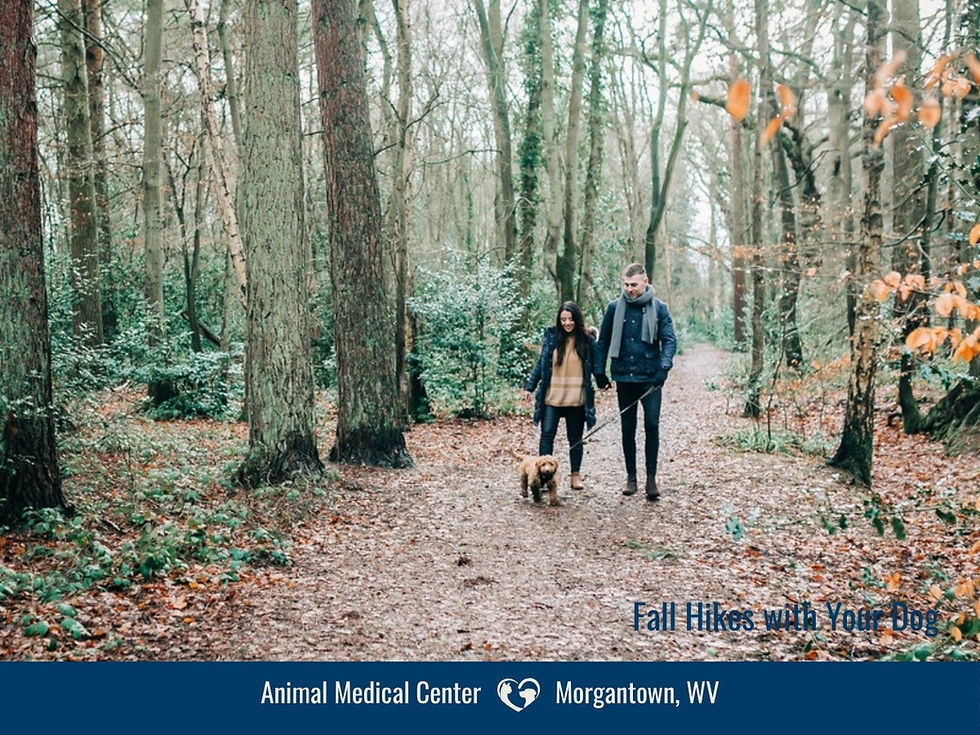
Stroller & Kid-Bike Friendly: Easy Fall Walks with Your Dog Around Morgantown
The whole-family walk
Some fall walks are for boots and mud. These are for the rest of the family: a jogging stroller, a six-year-old on a bike, a grandparent, and the dog who's twelve and still excited to see the leash come out.

Every trail here is a rail-trail or a garden loop — flat or nearly flat, wide, and surfaced with pavement or compacted crushed limestone. You can push a stroller on all of them (a jogging stroller or one with bigger wheels is happier on the limestone), and kids can ride a bike safely.
All seven allow dogs on leash. Trailheads are exact so you can put them in your phone. (The rooty, hilly trails got their own post: Muddy Boots.)
1. Prickett's Fort to the Meredith Tunnel — MCTrail
The tunnel is the whole reason to drive to Fairmont. Kids ride ahead, the dog gets a cool break halfway, and the fort is right there for a picnic and restrooms when you get back.
Trailhead: Prickett's Fort State Park, 88 State Park Road, Fairmont, WV 26554. Park at the fort; the trail starts at the little train-stop shelter and the park restrooms are right there. About 35 minutes.
The walk: 2.5 miles of pavement one way at a 1% grade, 5 miles round trip. The payoff is the 1,200-foot Meredith Tunnel — lit, cool and a guaranteed hit with kids and most dogs — about 2 miles in from the fort. From the same lot you can also head north along the river on the Mon River Trail South.
2. Mon River Trail South from the Uffington trailhead
Same river as the in-town trail, none of the crowd. The new Uffington lot, opened summer 2025, drops you onto the quiet stretch south of Morgantown in one turn off Route 73.
Trailhead: WV DNR Uffington Public Stream Access, off WV 73 south of town, at mile 13.5 of the rail-trail; about 40 spaces and a short paved path to the trail.
The walk: Head south and it's compacted limestone along the Monongahela, wooded and level, with the river beside you. Prickett's Fort is 15.5 miles that way, so this is an out-and-back you turn around on whenever you like; a mile or two south is plenty for a stroller. Boat ramp on Booths Creek at the lot. No restrooms here — it's the one stop on this list without them.
3. Mon River Trail North from Edith Barill Riverfront Park
Same trail system as the Caperton, but head north from Star City and it quiets down fast. Limestone instead of pavement, river the whole way, and the leaves along the bottom turn late.
Trailhead: Edith Barill Riverfront Park, Leeway Street off Broadway Avenue, Star City; trail parking, restrooms and picnic tables.
The walk: North of Star City the pavement ends and the trail follows the river on compacted limestone toward the Pennsylvania line, about 6 miles if you want it all. Wooded river valley, waterfalls along the slope when it's been rainy, occasional meadows, and it empties out a mile from the park. Color hits the river bottom late, so this one often stays pretty into November.
Another day, head south from the same lot for the paved Caperton Trail.
4. Cheat Lake Park & Trail
Water on one side, woods on the other, and a playground at the start. The walk down from the upper lot is the only hill. Bring the towel: somebody will end up in the lake.
Trailhead: Upper lot at the end of Morgan Run Road (I-68 Cheat Lake exit, then Morgan Run Road about 1.6 miles); walk down the short paved road to the trail. The lower lot is for accessible parking and drop-offs.
The walk: 4.5 miles of old rail grade hugging the eastern shore of Cheat Lake, crushed stone, wide and level. Water on one side the whole way, woods on the other, and a playground, fishing platform and picnic tables at the park. For a short version, walk to the dam and back, about 2 miles. The access road is narrow. Restrooms at the park building when it's open. Keep dogs out of the lake.
5. Deckers Creek Trail from Masontown
This is the one to make a morning of. Deep hemlock woods, a real sense of being out of town, and if you head north, it's still flat enough for a stroller. Heading south is lovely, too, but a good downhill for a while meaning an uphill on the way back. Go north your first time, as it's a really special section of forest there, reminiscent of the Rock City trail at Cooper's.
Trailhead: Masontown Trailhead Park, Sand Bank Road, Masontown. WV 7 east about 9 miles past I-68; at the edge of town a sharp right onto Bridgeway Avenue, then right on Sand Bank Road. Two lots, restrooms, a drinking fountain and a shelter beside a restored 1907 coal-company building.
The walk: Mile 13.5 of the trail, deep in the hemlocks and rhododendron. Head towards Reedsville, and it's nearly level through the woods for a few miles — the best deep-forest walk you can push a stroller on.
Don't head towards Morgantown with a stroller or bike unless you preview it first to make sure the slope is safe for you, and be ready to turn around if the slope is hard to handle. It's a steady downhill through more open woods for a couple miles before leveling out in town. Keep in mind that the return will be uphill! Both are beautiful year round. Compacted limestone with paved portions; check MRTC's site for closures before driving out.
6. WV Botanic Garden — Reservoir Loop
Short, flat, and full of things for small kids to look at, including the hobbit-hole tunnels. The only stop on this list besides Prickett's Fort with a restroom and a fountain.
Trailhead: 1061 Tyrone Road; lower lot and kiosk. About 15 minutes.
The walk: A flat 0.9-mile loop around the floor of the old Tibbs Run reservoir — boardwalk, wetland, meadow, the children's garden with its hobbit-hole tunnels, benches every few hundred feet. Add the cultivated gardens near the lot for a longer, still-easy loop. Free, dawn to dusk. Two public restrooms (one accessible) and a water fountain in the lower level of the Education and Event Center; the lower lot is open 10 a.m.–6:30 p.m. in October. Waste stations in both lots; no bikes, so kids walk this one. Range noise from the neighboring gun club is normal.
7. Cheat River Rail-Trail 👀 🎉 NEW TRAIL! 🎉 👀
Preston County's newest trail, and the only one on this list where the river is a real river. The first three miles opened in spring 2025 after a 25-year effort by Friends of the Cheat, and the rest is coming.
Trailhead: Cheat River Trailhead, 10922 River Road (WV 72), Kingwood 26537. Accessible parking, restroom, picnic area, water-bottle filling station and a pavilion.
The walk: About 2.8 miles of wide packed stone along the Cheat River Narrows, heading south from the trailhead toward the Route 7 bridge, then back. Wide enough for a stroller and a bike side by side, and the river views are the best of any trail here. Open dawn to dusk. The full trail will run 8.5 miles to Manheim when finished.
Map
Before you go: the vet's checklist
Tick preventative, all 12 months. A rail-trail isn't a tick-free zone — the grass along both edges is exactly where they wait. Ticks are active every day of the year unless the ground is frozen solid or completely covered in snow, so we recommend every dog stay on a tick preventative year-round. If a dose has lapsed, restart before the first walk.
Water for the dog. Bring it. Every trailhead on this list except Uffington has restrooms, though whether they're open on a given day depends on the operator, so don't count on them. On a warmer day or a longer walk, offer water every 20–30 minutes from a collapsible bowl, and don't let the dog drink from the creek, river or lake.
Leash on, keep right. Every trail here requires a leash (6 feet under the county ordinance; 10 feet in the state park), and every one is shared with bikes, runners and strollers. Short leash, dog on your side.
Senior and post-surgery dogs. These are the trails we mean when we say "short, flat, leashed walks" at a recheck. Start with a mile, watch for stiffness that night, build from there.
Hot pavement. Asphalt on the Caperton Trail and MCTrail gets hot on a bright afternoon. Too hot for the back of your hand for five seconds means too hot for paws — go early or late, or pick a limestone trail.
Check paws and coat afterward. Burrs between the toes, ticks in the ears and armpits.
ID and a photo. Tags on, microchip registered, current photo on your phone.